
JOIN SAVVY LANDOWNERS GENERATING YEAR ON YEAR INCOME FROM CONSERVATION
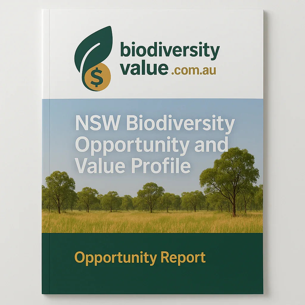
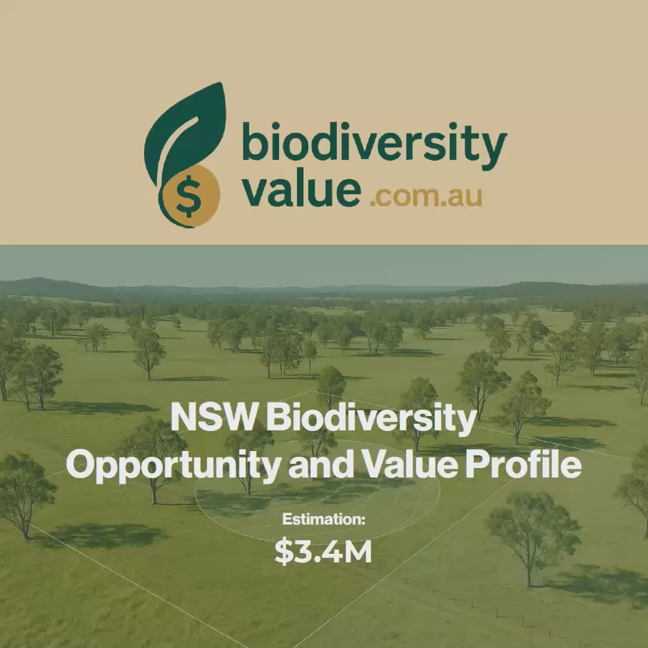
A BIODIVERSITY REPORT THAT REVEALS STEWARDSHIP OPPORTUNITIES, OFFSETS AND HIDDEN VALUE
COMPLEX MAPPING AND DATABASES MAKE IT DIFFICULT TO FIND AND UNDERSTAND THE VALUE OF NATIVE VEGETATION ON YOUR LAND
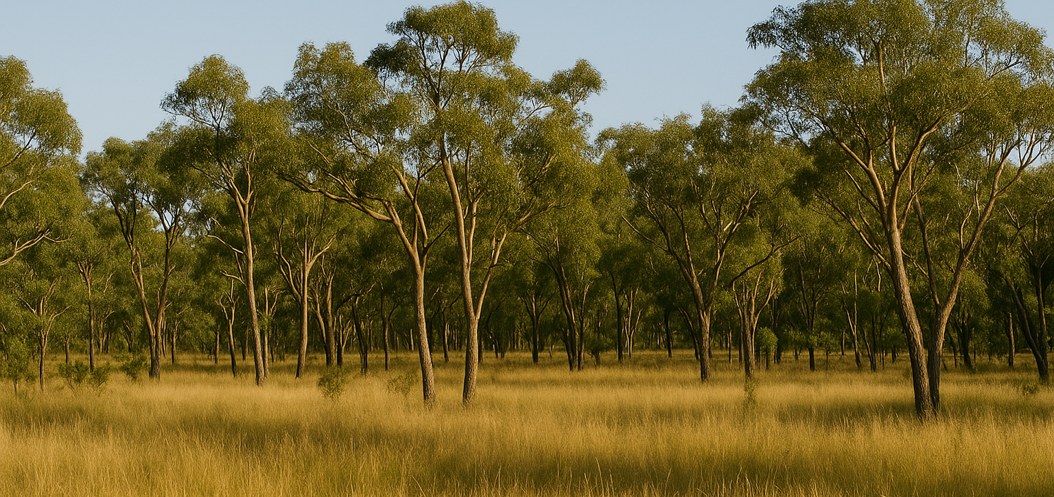
THERE'S POWER IN KNOWING THE BIODIVERSITY VALUE OF YOU LAND
There's a shift happening in Australia, and you can be part of it. As governments try to strike the right balance between environmental conservation and crucial infrastructure growth, your land could be part of the solution and you need to know its worth.
The Hidden Problem
- Most landowners don't realize their native vegetation is worth money
- Traditional farming income declining while conservation demand soars
- Complex regulations make biodiversity seem like a liability
- You could be missing out on thousands in stewardship payments annually
The Biodiversity Value Solution
- Professional desktop mapping reveals income opportunities
- Identify EEC/CEEC areas worth premium rates
- Clear indication on conservation opportunities
- Know your biodiversity value and be READY when developers and big energy companies come knocking for your land
We'll send you a desktop audit of the biodiversity on your property. Satisfy your curiosity, see what your land is worth.
Property Report Comparison:
For the curious, the serious and ready-to-move customer - here's a breakdown of the reports on offer.
✅
✅
✅
✅
✅
✅
✅
✅
✅
✅
✅
✅
✅
✅
✅
✅
✅
✅
✅
✅
✅
✅
✅
✅
❌
✅
✅
❌
✅
✅
❌
✅
✅
❌
✅
✅
❌
❌
✅
Professional Analysis with Priority Service
Comprehensive Analysis Includes:
- Zoning, area and perimeter mapping
- Biodiversity snapshot assessment
- NVR mapping under Section 60A LLS Act
- PCT (Plant Community Type) identification
- Stewardship value estimates
- Koala habitat potential analysis
- Bionet species sightings verification
- BSA location analysis
- Priority turnaround processing
- Additional property discount eligibility
- Implementation checklist
Perfect for: Serious landowners or prospective landowners ready to act on conservation opportunities with faster delivery and implementation guidance
YOU CAN HELP
It's not all about Carbon Farming, Biodiversity is key
Frequently Asked Questions
FAQ
UNDERSTANDING BIODIVERSITY VALUE REPORTS
What exactly is a Biodiversity Value Report?
Our NSW Biodiversity Opportunity & Value Profile is a comprehensive analysis that identifies income-generating opportunities from your native vegetation. Unlike some environmental reports that focus on restrictions, we highlight how your biodiversity can generate revenue through conservation credits, stewardship agreements, and partnership programs.
How do you calculate the credit estimates?
Biodiversity credits typically range from 3-6 per hectare based on ecosystem quality and rarity. Our estimates use a conservative baseline of 4 credits per hectare. Credit values vary based on Plant Community Type (PCT) classification, with Endangered Ecological Communities (EEC/CEEC) commanding premium rates.
What if my property doesn't appear to have native vegetation?
Our analysis uses NSW government databases to identify vegetation that may not be immediately obvious. Vegetation can often be 'derived' of nearby PCT's and suitable for conservation or revegetation. We analyze the official PCT mapping and NVR classifications for your property regardless of what's visible on the surface.
How do you calculate the credit estimates?
Biodiversity credits typically range from 3-6 per hectare based on ecosystem quality and rarity. Our estimates use a conservative baseline of 4 credits per hectare. Final credit numbers are determined by qualified ecologists through detailed site assessments, which we recommend for properties with significant opportunities.
What information will I get about my property?
Your report identifies:
- PCT Mapping: What Plant Community Types exist on your property
- EEC/CEEC Classification: Whether you have rare, high-value ecological communities
- NVR Analysis: Regulatory status under Section 60A Local Land Services Act
- Market Assessment: Current demand levels for your vegetation types
- Market Value Rates: Get an estimate of the biodiversity value of your property
- BSA Analysis: How many similar conservation agreements exist nearby
- Koala Habitat Index: Suitability for koala conservation programs
- Bionet Sightings: Adding further support to the desktop mapping.
What does EEC or CEEC mean for my property?
EEC (Endangered Ecological Community) and CEEC (Critically Endangered Ecological Community) are rare vegetation types that:
- Command premium rates in biodiversity credit markets
- Have the highest protection under NSW biodiversity legislation
How accurate are the PCT classifications?
We use official NSW Department of Planning & Environment PCT mapping data. This desktop analysis is highly reliable for initial assessment, but we recommend ground-truthing by qualified ecologists for:
- Properties where significant investments are being considered
- Areas where the mapping indicates high-value opportunities
- Before making final decisions on conservation agreements
What data sources do you use?
Our reports are based on official NSW government databases:
- PCT (Plant Community Type) mapping from NSW Department of Planning & Environment
- Native Vegetation Regulatory (NVR) maps under Local Land Services Act
- Bionet species database for verification where available
- Current biodiversity credit market data where available
- BSA (Biodiversity Stewardship Agreement) location data
How do you deliver the reports?
Digital PDF: Emailed within stated delivery timeframes
Format: Professional multi-page report with maps and analysis tables
Content: Comprehensive analysis based on your selected package level
What if the property information is incorrect?
It's possible that street addresses are read incorrectly and LOT and DP information is preferred to verify the location of the property.
Can you analyse multiple properties?
Yes, with package-dependent limitations:
- Additional properties can be analyzed for additional fees
- Each property receives its own complete analysis
- Volume discounts may be available for multiple properties
Does this report guarantee I can participate in programs?
No. Our report identifies potential opportunities based on desktop analysis. Actual program participation requires:
- Detailed on-ground assessment by qualified ecologists
- Application and approval processes with relevant agencies
- Meeting specific program criteria and requirements
- Compliance with all program terms and conditions
What are my obligations if I pursue these opportunities?
Program obligations vary and may include:
- Long-term management commitments (typically 30 years)
- Specific land management requirements
- Regular monitoring and reporting
- Restrictions on certain land uses
- We recommend seeking independent legal advice before entering any agreements
How might this affect my property's future use?
Conservation agreements can:
- Restrict certain development activities
- Require specific management practices
- Provide income streams that may offset restrictions
- Potentially affect property marketability (positively or negatively)
- Create long-term commitments that transfer with property ownership
What information do you need to prepare my report?
We require:
- Accurate property address or lot/DP number
- Your contact email address for delivery
What if I'm not satisfied with my report?
We stand behind our analysis quality:
- Reports are based on best available government database information
- If we're unable to verify your address we'll refund your purchase price.
- Refund policies are clearly stated in our terms of service
What should I do after receiving my report?
If your report identifies opportunities:
- Review the findings carefully and understand what's been identified
- Consider ground-truthing through qualified ecological assessment
- Seek professional advice from environmental lawyers and accountants
- Contact relevant agencies about specific program requirements
- Develop a timeline for any actions you wish to pursue